-40%
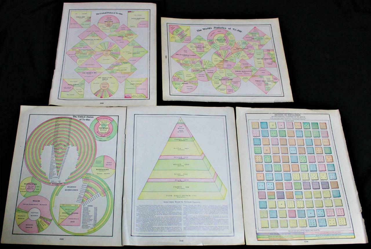
5 ATLAS MAP PAGE PLATES OF UNITES STATES & WORLD GRAPHS DIAGRAMS 1900
$ 2.89
- Description
- Size Guide
Description
5 Vintage Rand McNally atlas pages of United States & World graph chart diagrams circa 1900. Includes: The United States Of Today. The World Of Today. Population Density, US Territorial Expansion and Center Of US Population 1790-1900. Three pages are double sides for a total of 8 pages of charts. Each measures 11 1/2 X 14 1/2 inches in size (29 X 37cm). Charts are authentic originals in good condition as shown in photos.5 ATLAS MAP PAGE PLATES OF UNITES STATES & WORLD GRAPHS DIAGRAMS 1900
5 ATLAS MAP PAGE PLATES OF UNITES STATES & WORLD GRAPHS DIAGRAMS 1900
Click images to enlarge
Description
5 Vintage
Rand McNally
atlas pages of United States & World graph chart diagrams circa 1900. Includes: The United States Of Today. The World Of Today. Population Density, US Territorial Expansion and Center Of US Population 1790-1900. Three pages are double sides for a total of 8 pages of charts. Each measures 11 1/2 X 14 1/2 inches in size (29 X 37cm). Charts are authentic originals in good condition as shown in photos.
Pictures sell!
Auctiva offers Free Image Hosting and Editing.
300+
Listing Templates!
Auctiva gets you noticed!
The complete eBay Selling Solution.
Every buyer gets a MyStoreRewards invitation for cash back
Track Page Views With
Auctiva's FREE Counter
